Categories
Downeast Maine sea kayaking

Kayak the Bold Coast — A day trip this summer

A guided tour open to intermediate and advanced paddlers. Conditions permitting, we will paddle the stretch of coast between Bailey’s Mistake and Lubec.

The 12:24 PM high tide at West Quoddy Head on Saturday, Aug. 13 makes for an ideal day to launch from the MCHT ramp at Bailey’s Mistake at 9 AM, paddle the 8 miles to West Quoddy Head by slack tide, and then (conditions permitting) ride the ebb tide back to Bailey’s Mistake in the afternoon. 

Contingency options include taking out at West Quoddy Head, South Lubec, or Lubec. 

If fog or sea conditions make the trip inadvisable, alternatives include exploring Baileys Mistake Cove and nearby Sandy Cove or paddling the cliffs and rock gardens between Bucks Harbor (Machiasport) and Jasper Beach. 

Please contact us with questions or to make a reservation. Discounts are available for paddlers bringing their own boats and gear.

This trip is being offered as a one-day follow-up to two days of paddling in the Great Wass archipelago. Paddlers can sign up for one, two, or three days of epic Downeast kayaking.

Categories
Acadia Belfast Deer Isle Downeast Maine Great Wass Jonesport Maine islands Muscle Ridge paddling sea kayaking

More tours, so you can paddle more with us

A photo from our recent paddling adventures in Sitka, Alaska.

Our tour offerings are greatly expanded this summer — in hopes you’ll tour more with us. In addition, our website has been re-organized so that it is now either to search for kayak tours by date or by geographical area.

You can now search for our sea kayak tours in the areas of Rockland (including Muscle Ridge), Belfast, Stonington, Schoodic (including Acadia National Park / Mount Desert Island), and Jonesport.

If the dates of our scheduled tours don’t work for you, please contact us as we still have many open dates and are eager to provide custom tours.

Hope to see you on the water soon!

Categories
Acadia Downeast Maine kayaking Maine islands sea kayaking

Sea Kayaking July

Categories
cold water kayaking Downeast Maine paddling sea kayaking

Winter Cliffs of Machiasport

Life circumstances and weather conditions came together to allow a February afternoon paddle out of Bucks Harbor in Machiasport (downeast Maine) and toward Jasper Beach.

We had paddled this cliff-lined section of Maine coast a number of times before — and for a number of reasons, it has become a favorite. This short section of the coast offers a picturesque working harbor, views of photogenic Yellow Head, craggy high cliffs, rock gardening opportunities, and the unique volcanic rhyolite stones of Jasper Beach.

Categories
Belfast Downeast Maine kayaking maine Maine islands Maine rivers paddling sea kayaking

Best of Summer 2013 — Our Annual Slideshow

Categories
Downeast Maine maine Maine islands

A Walk on Petit Manan Point

If you drive 26 miles east from Ellsworth to Steuben, and then 6 miles south from Route 1 on the Pigeon Hill Road, you reach near the end of a peninsula that protrudes as far south as the town of Bar Harbor and Schoodic Point.   The Petit Manan Refuge is one of the five refuges that together make up the Maine Coastal Islands National Wildlife Refuge.

Petit Manan Point is named after nearby Petit Manan Island, which itself was named by Samuel de Champlain and means “island out to sea.”

The refuge consists of 2,195 acres, both on Petit Manan Point and on nearby islands.

Like the other four refuges in Maine, Petit Manan provides a seasonal home for endangered neotropical songbirds such as the American redstart, Sawinson’s thrush, and song sparrow.  The saltmarshes and mudflats provide habitat for black ducks great blue herons, American bitterns, sandpipers, and more.  According to the refuge brochure, “During fall migration the 80-acred Cranberry Flowage on Petit Manan is filled with over 4,000 . . . black ducks, green-winged teal, and mallards” who use it as a resting and feeding spot.

We often say that kayaking is the best way to see the coast, but walking is also good — and it sometimes gets you places unreachable by other means.  Petit Manan Point presents a strong case for the argument that being able to see the water is not always a prerequisite of coast.   For even where the trails take you over glacially scoured terrain and down into the deep shade of white cedar forests, the fingerprints of the ocean are unmistakable and everywhere.  In the cool, moist salt air.   In the peat bogs, the subarctic vegetation, and the tamarack.  In the thrushes, sparrows, and warblers.  In the wildflowers, and –yes — in the sound of distant surf.

Petit Manan Point offers two main options for hikes.  The shorter, easterly hike (Hollingsworth Trail) seems to be favorite of some.  The longer, westerly hike — (Birch Point Trail) has recently undergone upgrades that include new plank bridges in the boggy areas.

For our late day, late May hike, we chose the Hollingsworth trail, which, as we found, provides a tremendous variety of vegetation and landscapes in a 1.5 mile loop.  There is also opportunity to extend the hike by walking south along the beaches toward the southern tip of the peninsula.

Whether you go in May or August or October, there is likely to be lots to see — and a good chance to see something you haven’t seen before.

Categories
Downeast Maine Maine islands sea kayaking

Litte Birds, Big Ocean: Paddling with the Puffins of Petit Manan

We rose at dawn and drove to a rocky beach south of Steuben, Maine. After carefully packing our kayaks with safety gear, food, water, and extra clothing, we donned the thick black wetsuits needed to paddle safely in 50 degree waters, launched from the rocky beach, and paddled south along Petit Manan Point. Even as we did so, we monitored the weather on the VHF radio, as this area is renowned for fog and turbulent sea conditions. The mainland slipped away behind us. The ocean yawned wide in front of us. With excitement and trepidation, we continued paddling south for two miles along the shoal that frequently provides some of the diciest sea conditions along the coast of Maine.

Manan means “island out to sea” in Micmac — and, amidst that landscape in which the mainland recedes in all directions, the name seems highly appropriate. The 120 foot spire of Petit Manan lighthouse provides a singular reference point amidst that big sea. We diverted our course to the west to trace the shoreline of adjacent Green island, our eyes alert for what we had come for. But there were only hordes of jeering gulls on the shoreline.

Then we moved onto Petit Manan itself, which is connected to Green, at low tide, by a series of bouldered ledges. On this island which has been called, “one of the most important seabird colonies in Maine,” we saw guillemots, cormorants, eiders, terns, and laughing gulls, but none of the little black and white penguin-cousins we had come for. We saw the puffin blinds used by the U.S. Fish and Wildlife Service naturalists to study and monitor the puffins. We scrutinized the rocky shoreline for sights of puffin nests. We scanned the sky and the water for puffins. And saw none.

By this time, we had circled three-quarters of the way around Green and Petit Manan. On this, our second trip out to the island, we had just about resigned ourselves to not seeing the puffins. Then we rounded the southern tip to the area of Petit Manan reef. Suddenly the sky was alive with Atlantic puffins torpedoing through the air as they circled from the cliffs to our left, swooped out over the the shallow waters of the reef, and then wheeled back toward the lighthouse. These puffin “wheels” I later read are common in puffin areas where gull predation is high.

We rested our paddles on our kayaks, marveling at the sight, and ineptly trying to take photos of the fast-moving birds. Puffin flight is best described as frantic. These foot-tall relatives of penguins have short wings and long stout bodies more adapted to swimming than flying. In flight, their wings, which flap at up to 400 beats per minute, are only a blur. The short wings don’t allow puffins to soar or float in the air. Instead, they dive-bomber through it at speeds of 40 to 50 miles per hour.

Seconds turned to minutes. The sun filtered more brightly through the clouds. Gentle green swells lifted and lowered us as they passed toward the cliffs. We pulled our eyes out of the viewfinders of our cameras and lowered them from the sky to the water. The tidal current had slowly eased us to the north. The water around us was suddenly, magically full of puffins.

Undisturbed by us, seeming to accept our presence, they drifted in groups, preening and puffing and dipping their heads beneath the surface. For a time, we were lost to the human world and joined the puffin one. There, as we drifted, it was possible for a few moments to forget that we were not puffins. To forget that the gentle sea that stirred around us was not our home.

Of Maine’s 4,000 islands and ledges, puffins nest on fewer than ten. Once they leave those nests, they spend up to five years far out at sea before ever returning to land. To say they live on the periphery of human civilization is an understatement. To spend a few minutes among these rare and marvelous birds is a privilege and a gift. Part of that gift is the reminder that beyond the human world lies a much larger one, of which both we and the puffins are just a tiny part.

Resources:
Maine Coastal Islands National Wildlife Refuges
Maine Birding.Net: Atlantic Puffin
Seabird Photography
Bird Fact Sheet: Atlantic Puffin

Categories
Downeast Maine maine Maine islands sea kayaking

Meandering Machias Bay (video)

Yellow Head lies like a sleeping dragon along the western shore of the bay.

What began as a on-water search for the petroglyph sites of Machias Bay morphed into as meandering tour of discovery of the magnificent rock formations of that bay.

After driving south from Machias past the Bucks Harbor Shopping Mall, we parked at unloaded our kayaks at Finn Beach. From there, on that rare calm and fogless morning, we paddled out of Bucks Harbor, past Bar Island, and then southwest along the cliffs to Howard Cove and Jasper Beach.  Along our route, bald eagles soared high into the blue sky above the sea arches and sea caves.

Jasper Beach
is a magnificent 1/2 mile beach made up of multi colored quartz and naturally polished, purplish rhyolite stones.

After returning to the northeast and past Bucks Harbor, we continued on toward the sleeping dragon of Yellow Head and then on to Bare Island, Avery Rock, Salt Island, and Round Island. After exploring Larrabee Cove (still hunting for those elusive petroglyphs), we returned south to Bucks Harbor just in time to get off the water by sunset.

We’ll go back again to search for the 3,000 year old Passamaquoddy petroglyphs, but we were very happy to have found what we did.

(J4WZWGUEEKR2)


~~~~~~~~~~~~~~~~~~~~~~~~~~~~~~~~~~~~~~~~~~~~~~~~~~~~~~~

Ray Wirth is a Registered Maine Guide and owner of Water Walker Sea Kayak, LLC. Comments and questions can be sent to ray@touringkayaks.com

Categories
Downeast Maine Great Wass kayaking Maine islands paddling

On the Water in Maine — The Best of Summer 2010


It’s not just our imaginations telling us it has been a great summer. According to the Boston Herald, Portland Maine has had 9 straight months of above average temperatures. The National Weather Service in Gray reports 10 fewer days of rain and 3 fewer inches of rainfall in June and July of 2010 versus those months last year.

The high pressure system that has hovered over the eastern U.S. for most of the summer has brought stifling heat elsewhere but has been a boon for Maine.

Which has made it more true than ever: Maine is the place to be in the summertime. And being on the water is the place to be in Maine.

This year, our kayak tours ranged from the Muscle Ridge Islands off South Thomaston to the Deer Isle Archipelago off Stonington — and many points in between. Our family trips extended as far east as Machiasport and as far north as Mattawamkeag.

Summer isn’t over yet, but the slide show features some of the best of our summer, with hopefully more to come.

Categories
Downeast Maine Maine rivers

Double-Take on Second Lake: A Kayak Trip from Rocky Lake to Second Lake via the East Machias

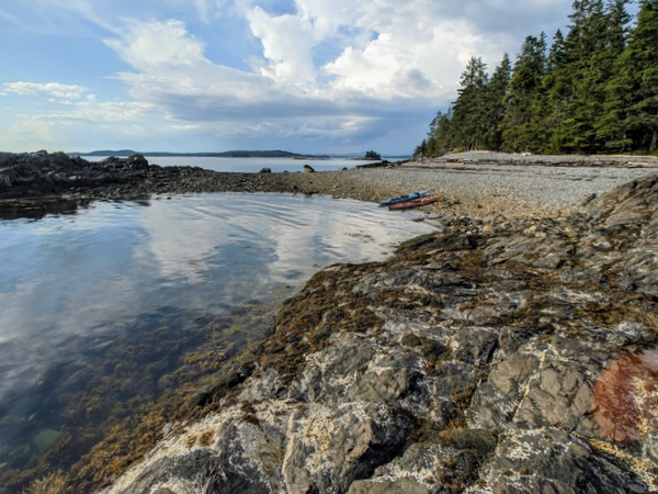
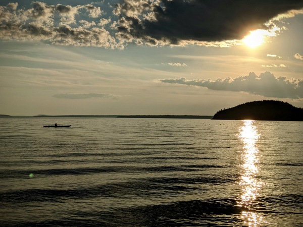
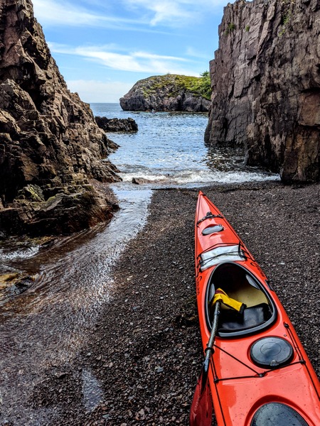
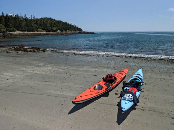
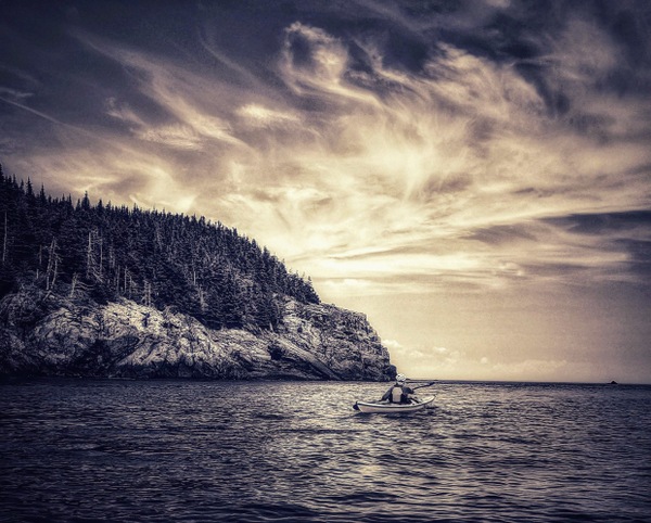
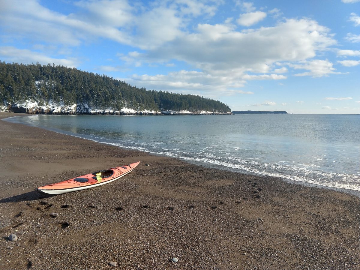
There we were, on a wild lake shore, 8 water miles from the put in and roughly 3 miles (as the crow flies) from our vehicle. We stood on a sawdust beach on the southern end of Second Lake in Downeast Maine. We were essentially right smack in the middle of the 11,000 acre Rocky Lake Public Reserve Lands. The sunset, less than an hour away, would be remarkable.  It was 7:15 pm and we were hoping finally (that’s another story) to each lunch. Our plan was to walk or catch a ride to our vehicle and then drive back and pick up the kayaks.  Trouble is, the boat landing and vehicle access road promised on the Delorme Atlas map as being adjacent to the lake, simply were not there. “Double-take” is probably an understatement in this case.

We could walk out the narrow, mossy mosquito-infested trail that led away from the beach, sure. But how to get the kayaks and gear (combined weight of more than 150 pounds) out to the road? And just how far was it to the drive-able road, anyway?

As a trip leader, I spend a lot of time re-tracing familiar routes. It’s a treat, then, to explore new territory, with only a map as a guide. However, that old Alfred Korzybski adage, “The map is not the territory,” is often quick to manifest itself on such trips, just as it had on this one.

Later, looking closely at the updated Delorme atlas (the one we were using was maybe 5 years old), I could see that the double-dashed unimproved road between Rocky Lake and Second Lake becomes a smaller double-dashed trail as it approaches Second Lake. The distinction was a lot more significant to us than to the map-maker.  Let’s just leave it at that.

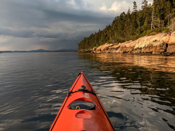
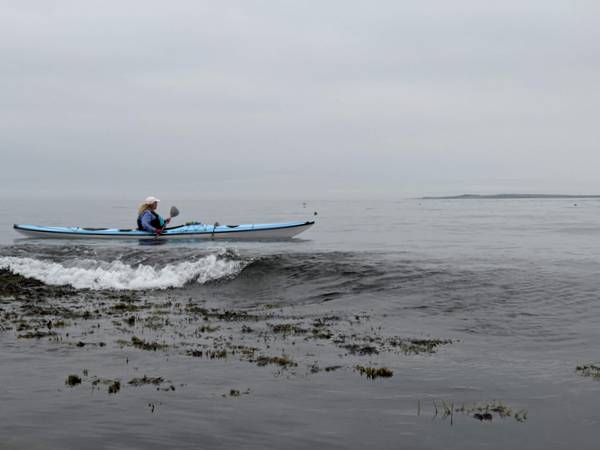
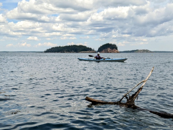
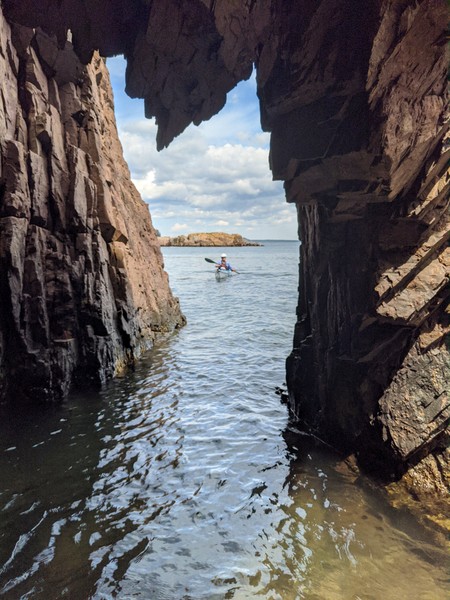
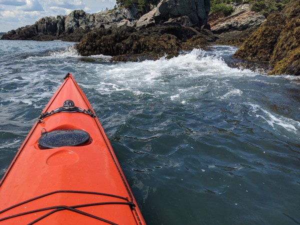
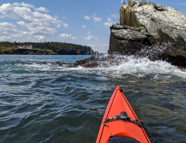
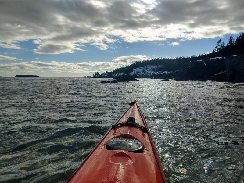
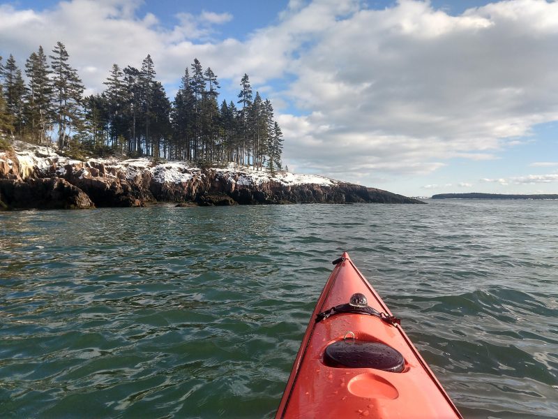
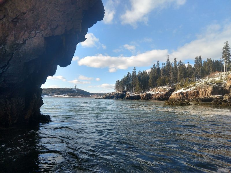
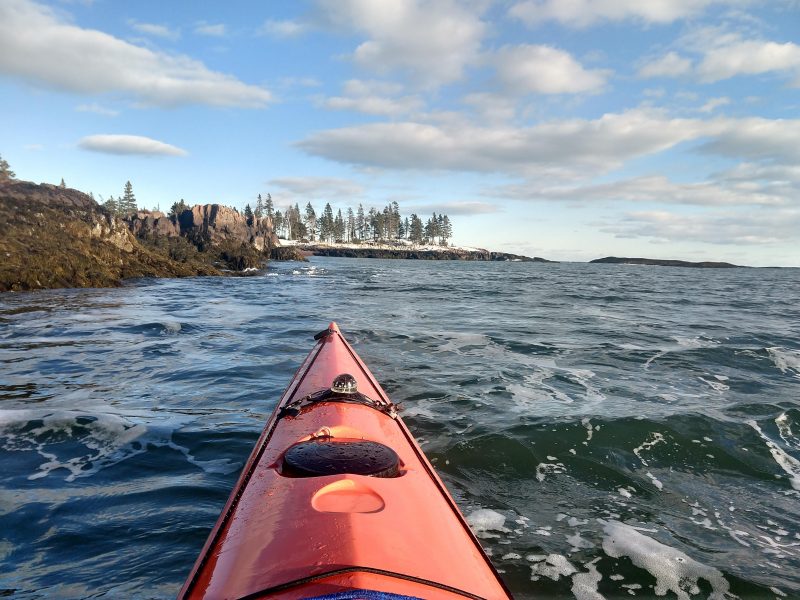
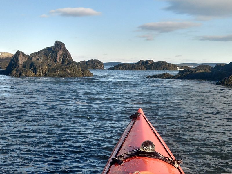
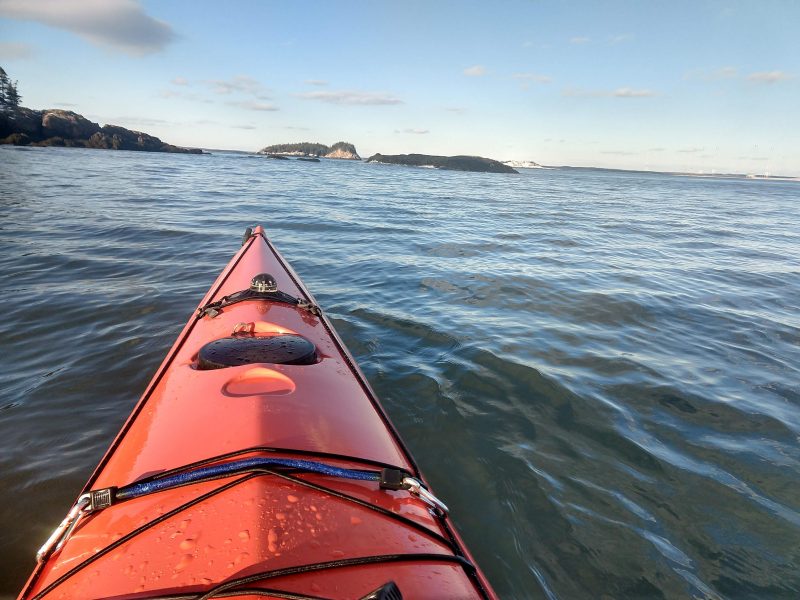
We had put in on the southern shore of Rocky Lake about four hours before. We paddled north, upwind along the western shore of Rocky Lake. True to its name, this pristine wilderness lake is rocky, shallow, and features a number of islands. We sighted only a handful of camps on our 3-mile trip up the lake shore. Near the northern end, we turned up Rocky Lake stream, a wide green river that meanders northwest through marshlands and is joined by the equally wide and placid Northern Stream before meandering southwest to join the East Machias River below Round Lake.

We then followed the East Machias south through more marshlands, past Oak Point Meadow, to the bridge above Munson Rips. At the bridge, the river narrows  and quickens for a quarter mile of Class I whitewater. Then it reverts to its previous character — slow unrelenting flatness — to Second Lake.

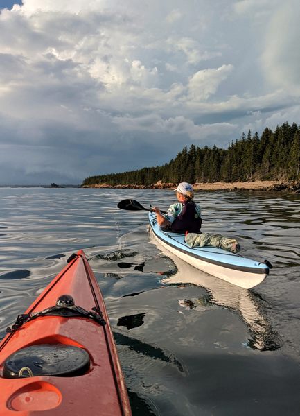
While Leslie fixed lunch, I dragged the first kayak down the overgrown trail, fending off mosquitoes with my free hand, and hoping the trail would take me out to a driveable road sooner rather than later. Fortunately, it was no more than a hard 5 minute drag that included a mud-hole, several downed trees, and a steep bank that required clambering. (Adventure races, in which people pay to carry heavy objects through the mud, are becoming all the rage, I reminded myself.  This experience was entirely free.)  Then it was back to fetch the second kayak and then back again to the lake shore for sunset and “lunch.”

We walked together up the trail, past the kayaks, and onto the graded dirt of the Diamond Match Road. The mosquitoes were bad enough to make us think wistfully of the  headwinds we had faced all the way up the lake. But the footing was decent. There were no vehicles to dust up the road, and we made good time in the diminishing light. We reached the Rocky Lake camping area before dark and then drove the 2.5 miles back toward Second Lake to pick up our kayaks.

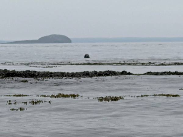
Our time in the Rocky Lake Public Reserve Lands was all too short.  This is a pristine and relatively unheralded wilderness of interest to paddlers, mountain bikers, birdwatchers, and fishermen.  Wildlife sightings are said to be common.  During our brief stay, we saw eagles, osprey, ducks, loons, beaver, and turtles. According the the BPL website, fish found in reserve waters include small mouth bass, white perch, yellow perch, chain pickerel, alewife, American eel, white sucker, fallfish, and pumpkinseed sunfish.  Camping is available at a number of primitive lake shore tent sites and also at a shelter on Rocky Lake.  

Read more about this wilderness area at Bureau of Public Lands and Wildernet.com